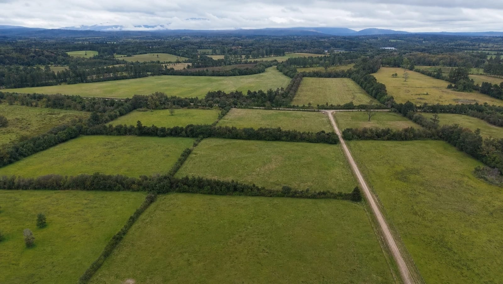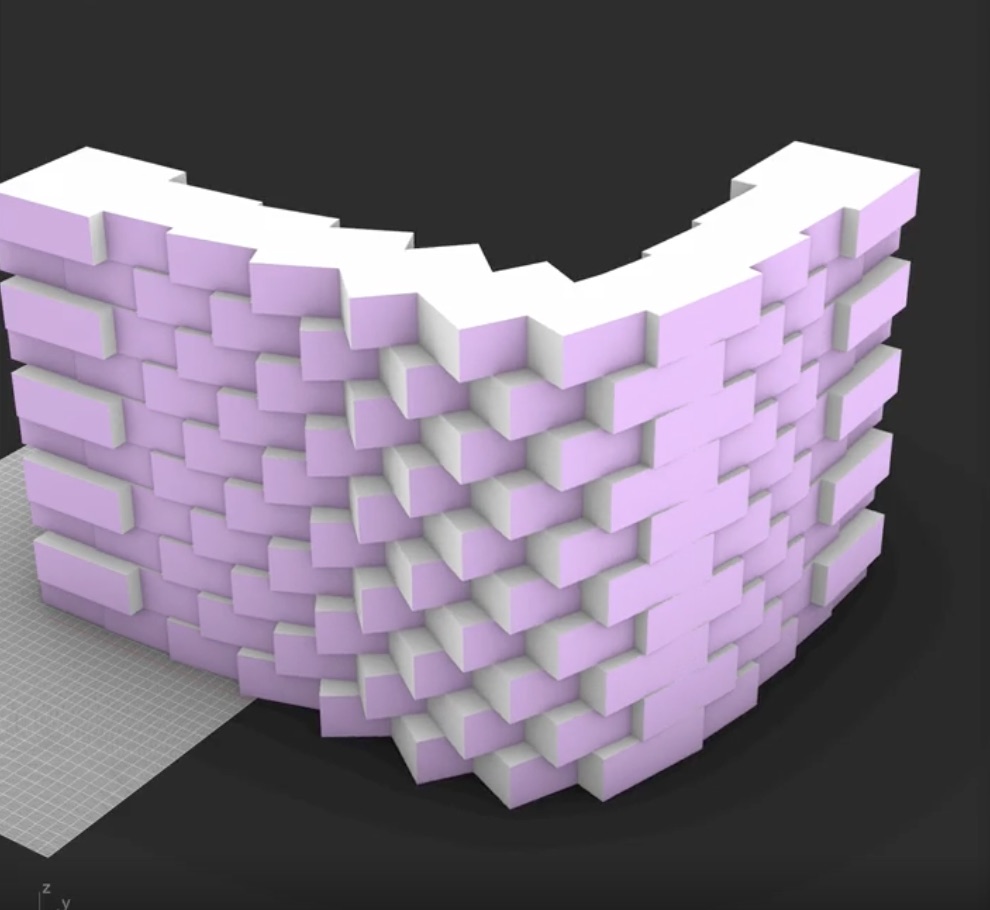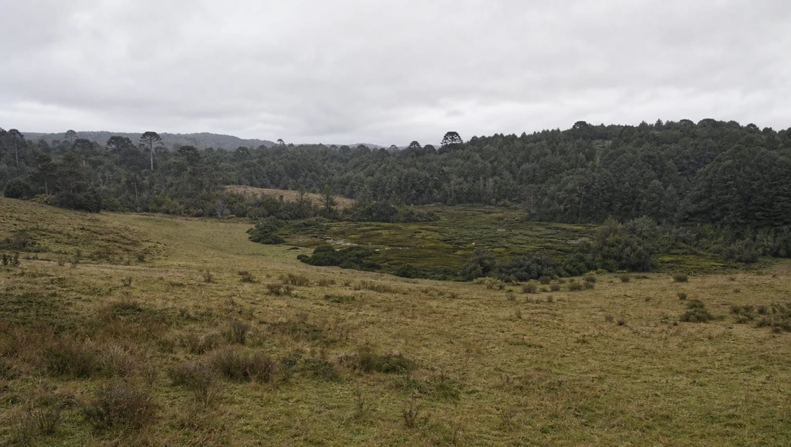
Which sites are best to build on?
Soil, water, vegetation, zoning and access: what to look at on a site before you sign, and what the place is telling you if you know how to read it.
There's no such thing as a good site in the abstract. There's the right site for what you want to build, and that difference gets decided before you sign, not after.
I wrote a first version of this years ago, when I advised people buying land. I'm revisiting it because the core advice hasn't changed —look at the soil, the water and the vegetation before falling in love with the view— but one thing has: today you can calculate instead of eyeballing, and that makes a good part of how construction gets quoted in Chile obsolete.
Architecture starts in the ground
The same house isn't built the same way on the coast of Chiloé as in the Andean foothills. In humid areas architecture answered with stilt houses and pile construction: lifting the floor off the ground so air circulates underneath and moisture doesn't climb the structure. That's not an aesthetic decision, it's an answer to the soil.
So the right question isn't whether a site is good, but what it's going to demand of you. Difficult soil doesn't disqualify a site: it makes certain solutions more expensive or conditional. What you can't do is find out once you've bought it.
What to look at in the soil
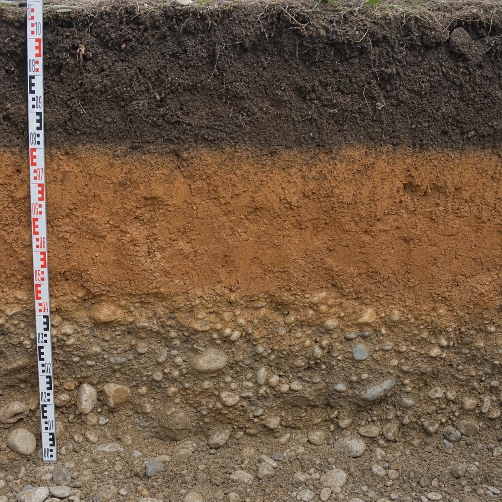
Grain size analysis classifies soil particles by size: from gravel and sand to silts and clays. It matters because that's what determines how the ground behaves once you put a building on it.
| Soil type | What it means |
|---|---|
| Gravel and sand | Good drainage and good bearing capacity. The comfortable case. |
| Silt | Holds water and loses strength when saturated. |
| Clay | Expands when wet and contracts when dry. That movement is what cracks foundations. |
| Fill | Material brought from elsewhere, often uncompacted. Always verify it. |
None of these is a verdict. You can build on clay, the foundations are just different and cost something else. The mistake isn't buying a site with clay: it's buying it without knowing and finding out once the budget was closed.
The vegetation is telling you
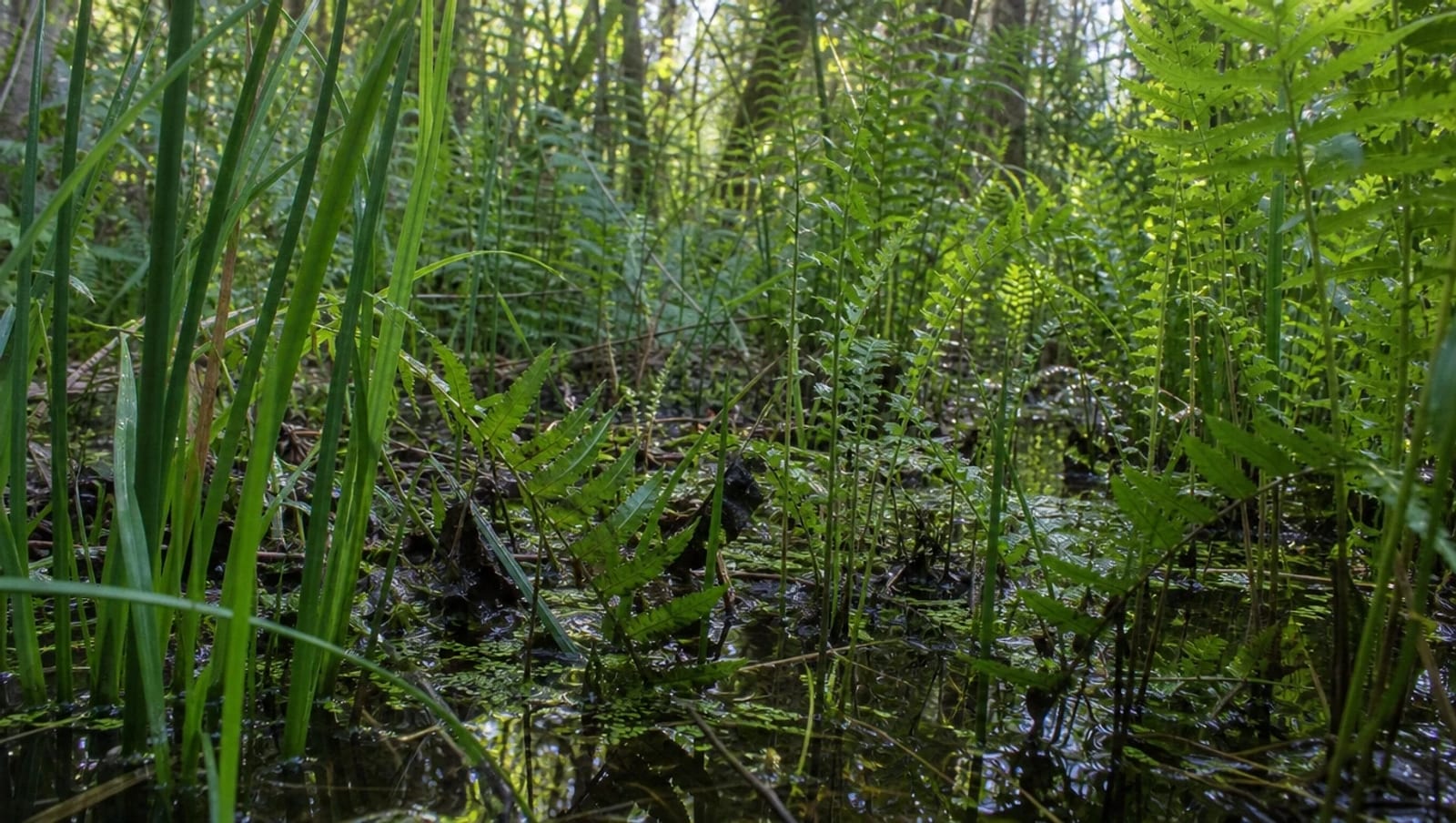
Before any test, a site is read by walking it. Plants are the cheapest instrument there is, because they've spent years recording what happens in that ground.
- Rushes: water very close to the surface, often permanently.
- Ferns: humid, acidic soils. In Chile they're good indicators of ambient humidity: they shrivel in drought and recover as soon as it rains.
- Buttercup and other wetland herbs: areas that saturate in winter even if they look dry in summer.
- Moss on trunks: marks the more humid, shaded face, usually the one facing the prevailing wind.
There are species called phreatophytes whose roots live in permanent contact with the water table. If they're there, groundwater is close, with or without a study to confirm it.
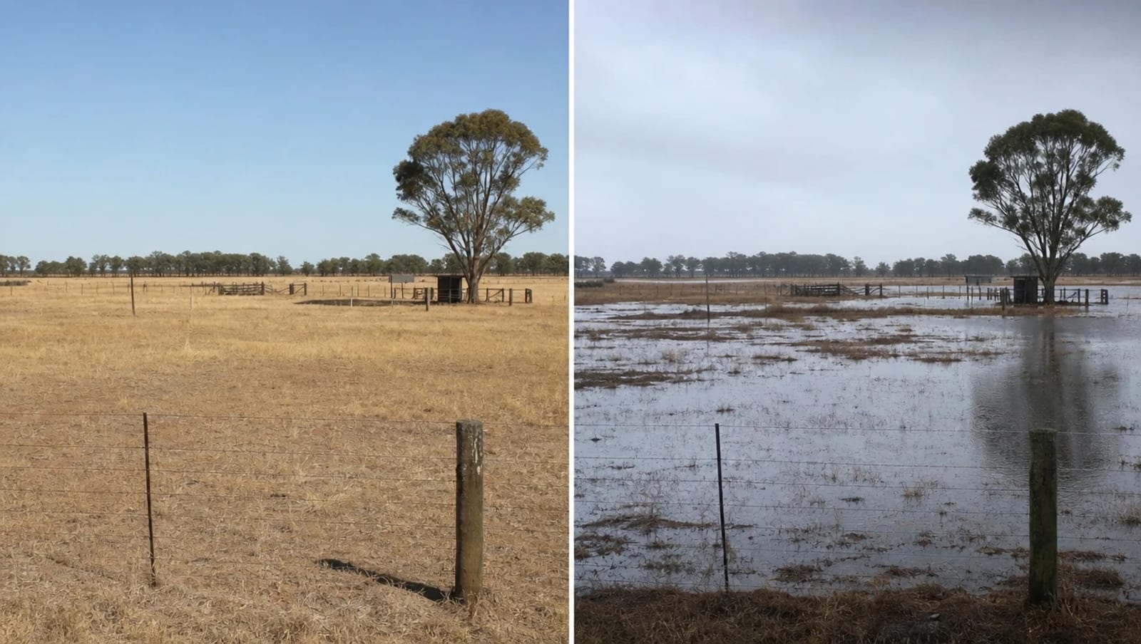
And one thing people forget: if you visit in summer you're not seeing the site, you're seeing its best face. It's worth going back after heavy rain, or asking the neighbors what it's like in July.
Water rules
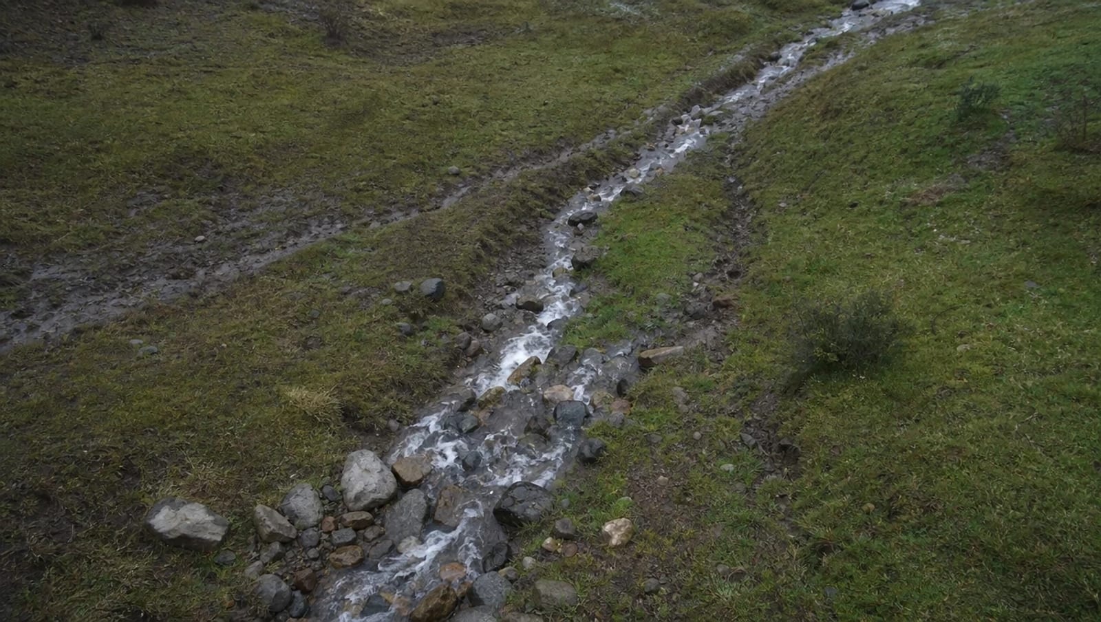
Water always finds its way, and that way existed before you arrived. Ravines, runoff and the spots where it pools aren't obstacles to solve with fill: they're information about how the site works.
Designing against that costs twice: during construction, because it has to be corrected, and afterwards, because the moisture problems come back every winter.
What changed: now it can be measured
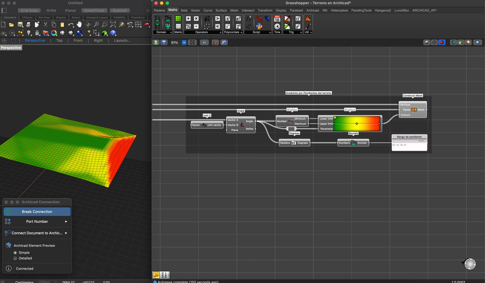
This is a slope analysis of a real site, made with an algorithm connecting Grasshopper to Archicad. Green is what falls under a given steepness and red is what exceeds it. It's the same information a surveyor delivers as a contour plan, but readable at a glance and, above all, computable: you can know how many cubic meters of earth have to move before deciding where the house goes.
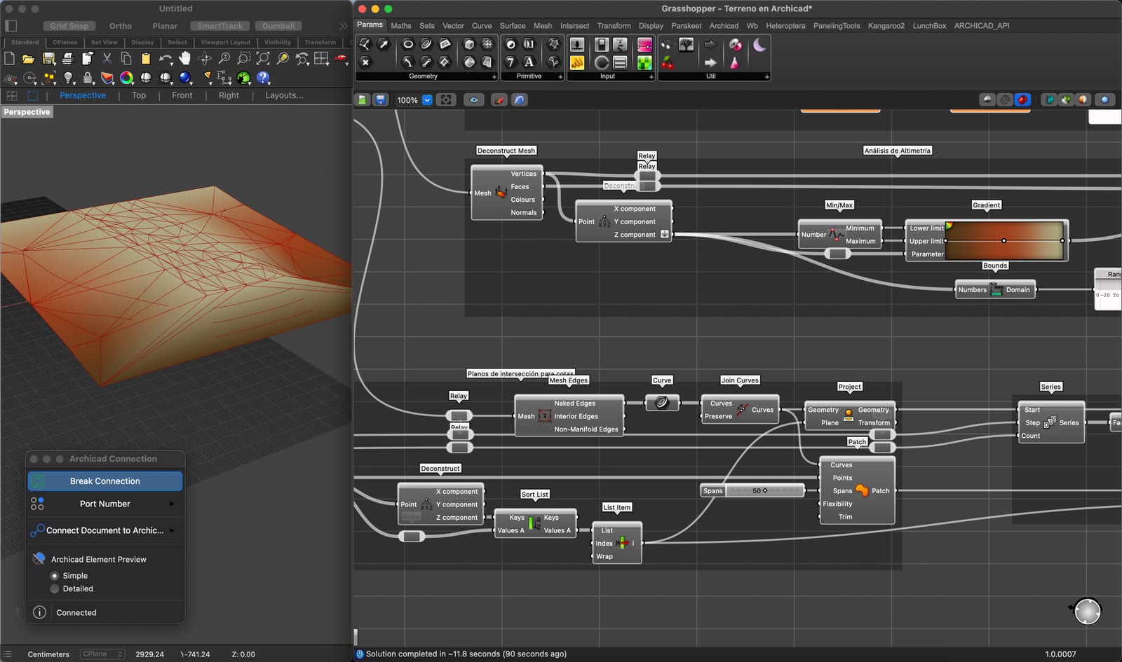
With the site modeled you can test: if I move the house twenty meters north, how much excavation do I save? What if I rotate the volume to follow the contour instead of cutting across it? Each of those questions has a numeric answer in minutes.
What the site doesn't tell you: the rules
A site can be perfect in soil, water and orientation and still not let you build what you have in mind. Zoning defines permitted use, maximum height, setbacks and how much you can occupy. And there are layers that don't show up on the zoning plan: declared urban wetlands, heritage zones, protected areas.
That information exists and it's public, but it's spread across several agencies. That's exactly the problem that led me to build OGUC 3D: bringing all those layers onto one map so you can see them before buying, not after.
Access and utilities
What makes a cheap rural site expensive is usually what the photo doesn't show:
- Access: whether the road is dirt, who maintains it, and if it holds a concrete mixer in winter.
- Water: mains connection, a well, or water rights. A well can cost more than a full bathroom.
- Electricity: distance to the nearest connection point is paid by the meter, and sometimes exceeds the price of the site.
- Sewerage: without mains you need a septic system and infiltration, and that depends on how permeable the soil is.
That last point closes the loop with the soil: clay that drains poorly doesn't just complicate foundations, it complicates the sanitary system too.
Orientation is decided before buying
In the southern hemisphere, north is the orientation that gets sun all day in winter, which is when you need it. A site where the good view faces south will force you to choose between landscape and light, and that tension defines the whole project.
It's worth standing on the site and locating where the sun rises and sets, which hill will take your afternoon, and where the wind comes from. Ten minutes that save long arguments later.
So which is the best site?
The one you can assess before buying it. Good drainage, moderate slope and no watercourses running through it start with an advantage, but a difficult site with solid prior analysis is a better deal than an easy one bought blind.
What I do recommend, without exception: before signing, a soil mechanics study and a visit in the worst season of the year. They cost a fraction of what it costs to discover the problem with construction already underway.
Ideas and learnings, once a month.